« 1 Car Rolls Over In Front Of The Court House | Home | Lose an Hour Gain a Life »
USAR Drill Using GPS To Find Waypoints
By JJohnson | October 26, 2009
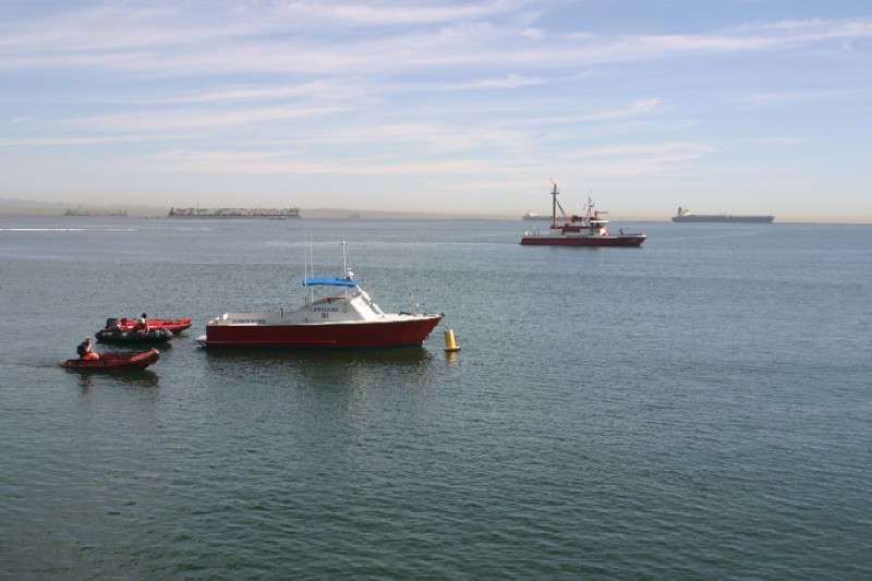
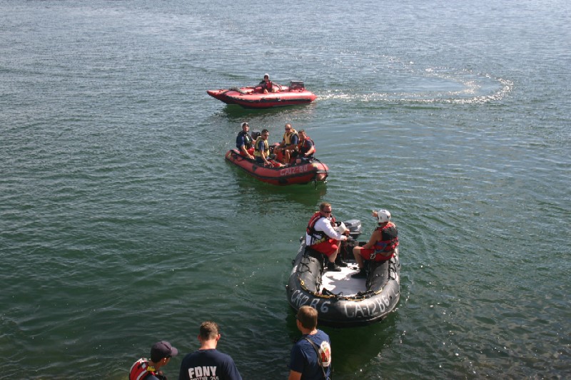
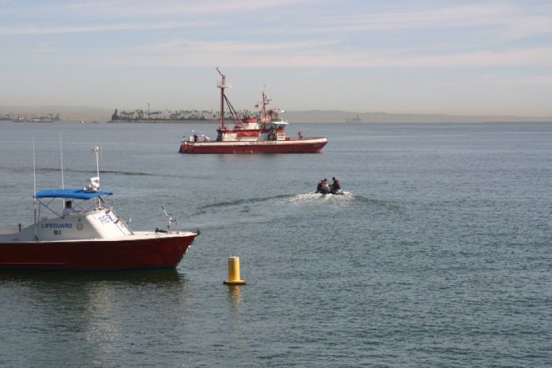
On 10/26/09, a practice drill put on by LBFD’s USAR team at their Station 6. Other Engine Companies from the department as well as some lifeguard units also joined in on the exercise.
The drill was to find certain markers in and around the Harbor. Teams were broken up into groups of 4 and given one handheld GPS unit to locate the markers. The handheld already had pre-programed coordinates to which the teams were to find 4 Waypoints (another term for markers) and report back to the command post. Teams used inflatable boats, lifeguard RB2 as well as FB20.
If this was an actual emergency, the purpose of the GPS units are to mark certain areas of interest to the LBFD units and then return those waypoints back to command post. The coordinates would then be put onto a map and used to figure out search patterns and locations. Incoming companies would then take the GPS handhelds, go to the waypoint, search that particular location and then report any pertinent findings back to the CP.
Deprecated: Function link_pages is deprecated since version 2.1.0! Use wp_link_pages() instead. in /home/firechan/public_html/blog/wp-includes/functions.php on line 6121
Topics: Drills | 74 Comments »
Comments are closed.

